
Givisiez topographic map
Interactive map
Click on the map to display elevation.
About this map
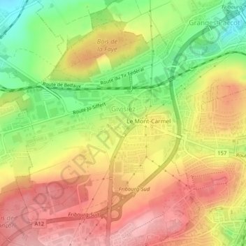
Name: Givisiez topographic map, elevation, terrain.
Location: Givisiez, District de la Sarine, Fribourg, 1762, Suisse (46.80168 7.11216 46.82414 7.13891)
Average elevation: 649 m
Minimum elevation: 570 m
Maximum elevation: 711 m