
Tere topographic map
Interactive map
Click on the map to display elevation.
About this map
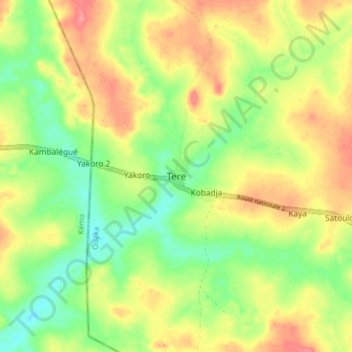
Name: Tere topographic map, elevation, terrain.
Location: Tere, Ouaka, Central African Republic (5.75518 19.59082 5.83518 19.67082)
Average elevation: 494 m
Minimum elevation: 456 m
Maximum elevation: 534 m