
Bure topographic map
Interactive map
Click on the map to display elevation.
About this map
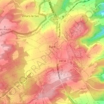
Name: Bure topographic map, elevation, terrain.
Location: Bure, District de Porrentruy, Jura, 2915, Suisse (47.41739 6.96371 47.46247 7.02685)
Average elevation: 570 m
Minimum elevation: 449 m
Maximum elevation: 635 m