
Thank you for supporting this site ❤️
Make a donation
Make a donation
La Rosas topographic map
Click on the map to display elevation.
Thank you for supporting this site ❤️
Make a donation
Make a donation
About this map
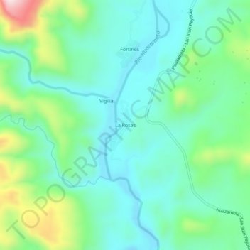
Name: La Rosas topographic map, elevation, terrain.
Location: La Rosas, Mezquital, Durango, Mexiko (22.47085 -104.52984 22.51085 -104.48984)
Average elevation: 652 m
Minimum elevation: 538 m
Maximum elevation: 985 m
Thank you for supporting this site ❤️
Make a donation
Make a donation