
Tintaldra topographic map
Interactive map
Click on the map to display elevation.
About this map
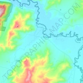
Name: Tintaldra topographic map, elevation, terrain.
Location: Tintaldra, Shire of Towong, Victoria, 3708, Australia (-36.11565 147.85398 -35.99272 147.98751)
Average elevation: 346 m
Minimum elevation: 221 m
Maximum elevation: 907 m
Other topographic maps
Click on a map to view its topography, its elevation and its terrain.