
Thank you for supporting this site ❤️
Make a donation
Make a donation
Eau Claire County topographic map
Click on the map to display elevation.
Thank you for supporting this site ❤️
Make a donation
Make a donation
About this map
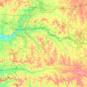
Name: Eau Claire County topographic map, elevation, terrain.
Location: Eau Claire County, Wisconsin, United States (44.59601 -91.65049 44.85760 -90.92139)
Average elevation: 304 m
Minimum elevation: 225 m
Maximum elevation: 423 m
Thank you for supporting this site ❤️
Make a donation
Make a donation
Other topographic maps
Click on a map to view its topography, its elevation and its terrain.
Thank you for supporting this site ❤️
Make a donation
Make a donation
Thank you for supporting this site ❤️
Make a donation
Make a donation