
Eisenberg topographic map
Interactive map
Click on the map to display elevation.
About this map
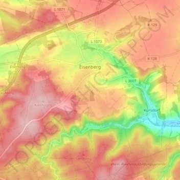
Name: Eisenberg topographic map, elevation, terrain.
Location: Eisenberg, Saale-Holzland-Kreis, Thüringen, 07607, Duitsland (50.93502 11.84657 50.98926 11.93293)
Average elevation: 305 m
Minimum elevation: 198 m
Maximum elevation: 367 m