
Thank you for supporting this site ❤️
Make a donation
Make a donation
Greenwood topographic map
Click on the map to display elevation.
Thank you for supporting this site ❤️
Make a donation
Make a donation
About this map
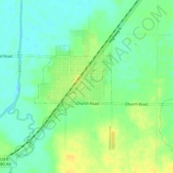
Name: Greenwood topographic map, elevation, terrain.
Location: Greenwood, Cass County, Nebraska, United States (40.95410 -96.45187 40.96688 -96.43589)
Average elevation: 341 m
Minimum elevation: 330 m
Maximum elevation: 355 m
Thank you for supporting this site ❤️
Make a donation
Make a donation
Other topographic maps
Click on a map to view its topography, its elevation and its terrain.