
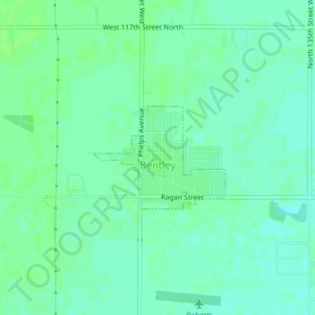
Bentley topographic map
Interactive map
Click on the map to display elevation.
About this map
Name: Bentley topographic map, elevation, terrain.
Location: Bentley, Sedgwick County, Kansas, États-Unis d'Amérique (37.88231 -97.52400 37.89115 -97.50966)
Average elevation: 424 m
Minimum elevation: 419 m
Maximum elevation: 427 m