
Thank you for supporting this site ❤️
Make a donation
Make a donation
Kronstorf topographic map
Click on the map to display elevation.
Thank you for supporting this site ❤️
Make a donation
Make a donation
About this map
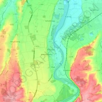
Name: Kronstorf topographic map, elevation, terrain.
Location: Kronstorf, Bezirk Linz-Land, 4484, Austria (48.10352 14.41426 48.17884 14.49471)
Average elevation: 300 m
Minimum elevation: 248 m
Maximum elevation: 371 m
Thank you for supporting this site ❤️
Make a donation
Make a donation
Other topographic maps
Click on a map to view its topography, its elevation and its terrain.