
Thank you for supporting this site ❤️
Make a donation
Make a donation
Gornji Furjan topographic map
Click on the map to display elevation.
Thank you for supporting this site ❤️
Make a donation
Make a donation
About this map
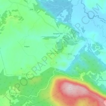
Name: Gornji Furjan topographic map, elevation, terrain.
Location: Gornji Furjan, Grad Slunj, Karlovac County, Croatia (45.04467 15.65922 45.08467 15.69922)
Average elevation: 325 m
Minimum elevation: 232 m
Maximum elevation: 563 m
Thank you for supporting this site ❤️
Make a donation
Make a donation
Other topographic maps
Click on a map to view its topography, its elevation and its terrain.