
Anan topographic map
Interactive map
Click on the map to display elevation.
About this map
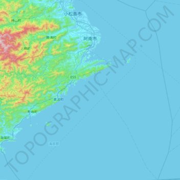
Name: Anan topographic map, elevation, terrain.
Location: Anan, Préfecture de Tokushima, Shikoku, Japon (33.45143 134.46717 34.04727 134.98685)
Average elevation: 85 m
Minimum elevation: -1 m
Maximum elevation: 1,404 m
Other topographic maps
Click on a map to view its topography, its elevation and its terrain.