
Mouloundou topographic map
Interactive map
Click on the map to display elevation.
About this map
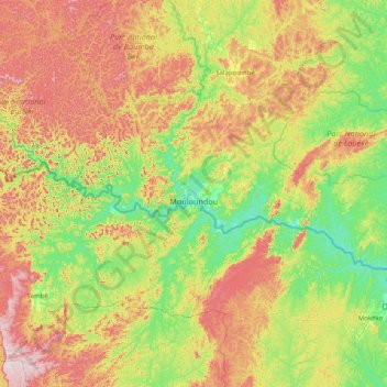
Name: Mouloundou topographic map, elevation, terrain.
Location: Mouloundou, Boumba-et-Ngoko, Est, Cameroun (1.64898 14.59526 2.50059 16.19162)
Average elevation: 490 m
Minimum elevation: 332 m
Maximum elevation: 810 m