
Itanagar topographic map
Click on the map to display elevation.
Itanagar
Itanagar is located at 27°06′N 93°37′E / 27.1°N 93.62°E / 27.1; 93.62. It has an average elevation of 320 metres.
About this map
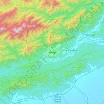
Name: Itanagar topographic map, elevation, terrain.
Average elevation: 539 m
Minimum elevation: 80 m
Maximum elevation: 2,386 m