Geolocate
👉 Easily get elevation data in JSON, GeoTIFF and KML formats using Elevation API
Thank you for supporting this site ❤️
Make a donation

Kansi topographic map

Click on the map to display elevation.

👉 Easily get elevation data in JSON, GeoTIFF and KML formats using Elevation API
Thank you for supporting this site ❤️
Make a donation

About this map

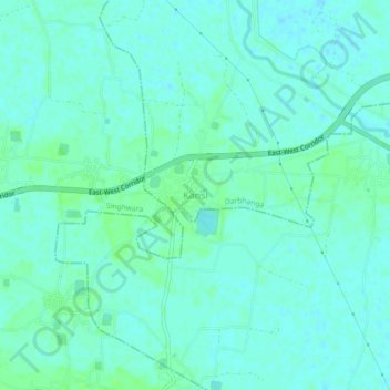
Name: Kansi topographic map, elevation, terrain.

Location: Kansi, Darbhanga, Bihar, 847428, India (26.15074 85.78996 26.19074 85.82996)

Average elevation: 50 m

Minimum elevation: 46 m

Maximum elevation: 54 m