
Ourthe topographic map
Interactive map
Click on the map to display elevation.
About this map
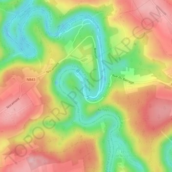
Name: Ourthe topographic map, elevation, terrain.
Average elevation: 343 m
Minimum elevation: 254 m
Maximum elevation: 426 m
Other topographic maps
Click on a map to view its topography, its elevation and its terrain.
Les Onays
Belgique > Wallonie > Houffalize > Les Onays
Les Onays, Houffalize, Luxembourg, Wallonie, 6660, Belgique
Average elevation: 391 m