
Thank you for supporting this site ❤️
Make a donation
Make a donation
Kampung Tanjung Che Mas topographic map
Click on the map to display elevation.
Thank you for supporting this site ❤️
Make a donation
Make a donation
About this map
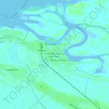
Name: Kampung Tanjung Che Mas topographic map, elevation, terrain.
Location: Kampung Tanjung Che Mas, Tumpat, Kelantan, 16200, Malaysia (6.17626 102.15215 6.21626 102.19215)
Average elevation: 3 m
Minimum elevation: -2 m
Maximum elevation: 13 m
Thank you for supporting this site ❤️
Make a donation
Make a donation