
El Retiro Park topographic map
Click on the map to display elevation.
About this map
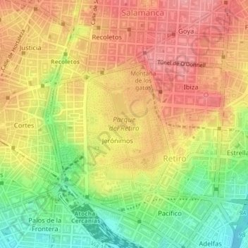
Name: El Retiro Park topographic map, elevation, terrain.
Location: El Retiro Park, Madrid, Community of Madrid, Spain (40.40827 -3.68882 40.42146 -3.67661)
Average elevation: 658 m
Minimum elevation: 601 m
Maximum elevation: 699 m
Other topographic maps
Click on a map to view its topography, its elevation and its terrain.