
Thank you for supporting this site ❤️
Make a donation
Make a donation
Glendon topographic map
Click on the map to display elevation.
Thank you for supporting this site ❤️
Make a donation
Make a donation
About this map
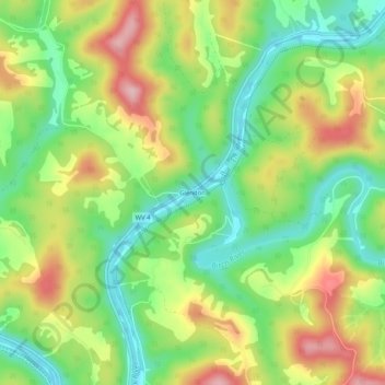
Name: Glendon topographic map, elevation, terrain.
Location: Glendon, Braxton County, West Virginia, 26639, United States (38.57121 -80.90871 38.61121 -80.86871)
Average elevation: 318 m
Minimum elevation: 232 m
Maximum elevation: 432 m
Thank you for supporting this site ❤️
Make a donation
Make a donation
Other topographic maps
Click on a map to view its topography, its elevation and its terrain.