
La Fontaine topographic map
Interactive map
Click on the map to display elevation.
About this map
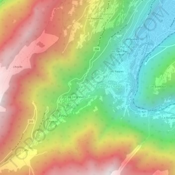
Name: La Fontaine topographic map, elevation, terrain.
Location: La Fontaine, Martigny-Combe, Martigny, Valais, 1921, Suisse (46.05897 7.01858 46.09897 7.05858)
Average elevation: 1,178 m
Minimum elevation: 481 m
Maximum elevation: 1,976 m