
Thank you for supporting this site ❤️
Make a donation
Make a donation
Dundee topographic map
Click on the map to display elevation.
Thank you for supporting this site ❤️
Make a donation
Make a donation
About this map
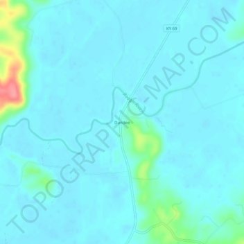
Name: Dundee topographic map, elevation, terrain.
Location: Dundee, Ohio County, Kentucky, 42338, United States (37.53894 -86.79277 37.57894 -86.75277)
Average elevation: 132 m
Minimum elevation: 121 m
Maximum elevation: 211 m
Thank you for supporting this site ❤️
Make a donation
Make a donation