
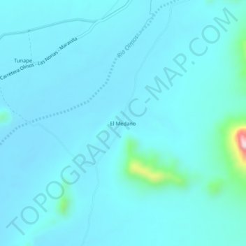
El Medano topographic map
Interactive map
Click on the map to display elevation.
About this map
Name: El Medano topographic map, elevation, terrain.
Location: El Medano, Olmos, Lambayeque, Pérou (-6.06217 -79.81702 -6.02217 -79.77702)
Average elevation: 155 m
Minimum elevation: 120 m
Maximum elevation: 538 m