
Thank you for supporting this site ❤️
Make a donation
Make a donation
Ship Bottom topographic map
Click on the map to display elevation.
Thank you for supporting this site ❤️
Make a donation
Make a donation
About this map
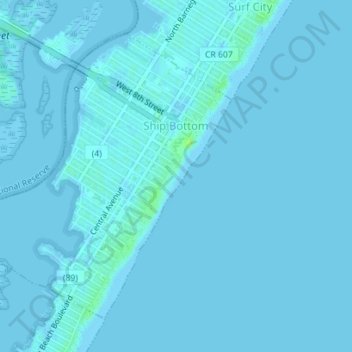
Name: Ship Bottom topographic map, elevation, terrain.
Location: Ship Bottom, Ocean County, New Jersey, United States (39.63476 -74.20016 39.65670 -74.17012)
Average elevation: 1 m
Minimum elevation: -2 m
Maximum elevation: 11 m
Thank you for supporting this site ❤️
Make a donation
Make a donation