
West Philadelphia topographic map
Interactive map
Click on the map to display elevation.
About this map
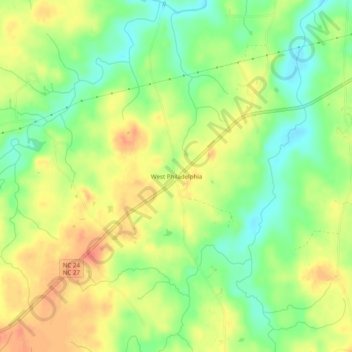
Name: West Philadelphia topographic map, elevation, terrain.
Location: West Philadelphia, Moore County, North Carolina, USA (35.36237 -79.67837 35.40237 -79.63837)
Average elevation: 150 m
Minimum elevation: 123 m
Maximum elevation: 175 m