
Schehun topographic map
Interactive map
Click on the map to display elevation.
About this map
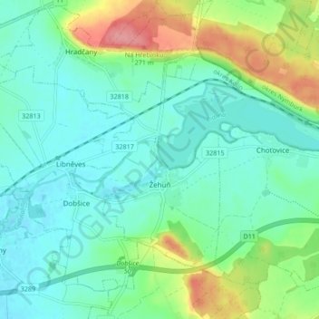
Name: Schehun topographic map, elevation, terrain.
Location: Schehun, Bezirk Kolin, Mittelböhmen, 28905, Tschechien (50.11987 15.26683 50.15952 15.35076)
Average elevation: 219 m
Minimum elevation: 196 m
Maximum elevation: 283 m