
Laâyoune topographic map
Interactive map
Click on the map to display elevation.
About this map
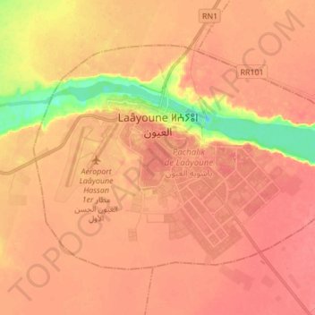
Name: Laâyoune topographic map, elevation, terrain.
Location: Laâyoune, Pachalik de Laâyoune, Province de Laâyoune, Maroc (27.09822 -13.24972 27.18518 -13.11261)
Average elevation: 65 m
Minimum elevation: 1 m
Maximum elevation: 95 m