
Outremeuse topographic map
Interactive map
Click on the map to display elevation.
About this map
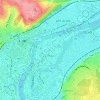
Name: Outremeuse topographic map, elevation, terrain.
Location: Outremeuse, Luik, Wallonië, 4000, België (50.63703 5.57786 50.64805 5.59920)
Average elevation: 85 m
Minimum elevation: 55 m
Maximum elevation: 177 m
Other topographic maps
Click on a map to view its topography, its elevation and its terrain.