
Monte Sirino topographic map
Interactive map
Click on the map to display elevation.
About this map
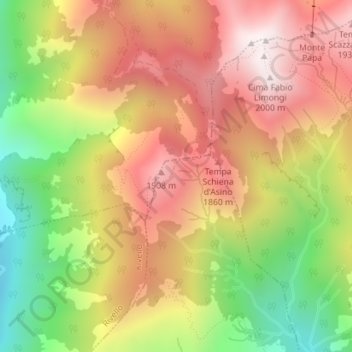
Name: Monte Sirino topographic map, elevation, terrain.
Location: Monte Sirino, Lagonegro, PZ, BAS, Italia (40.12185 15.82412 40.12195 15.82422)
Average elevation: 1,581 m
Minimum elevation: 1,082 m
Maximum elevation: 2,000 m