
Thank you for supporting this site ❤️
Make a donation
Make a donation
West Cape May topographic map
Click on the map to display elevation.
Thank you for supporting this site ❤️
Make a donation
Make a donation
About this map
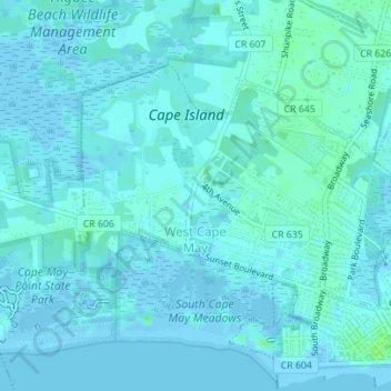
Name: West Cape May topographic map, elevation, terrain.
Location: West Cape May, Cape May County, New Jersey, United States (38.93271 -74.95200 38.95080 -74.92113)
Average elevation: 2 m
Minimum elevation: -6 m
Maximum elevation: 9 m
Thank you for supporting this site ❤️
Make a donation
Make a donation
Other topographic maps
Click on a map to view its topography, its elevation and its terrain.