
Guntur topographic map
Interactive map
Click on the map to display elevation.
About this map
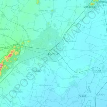
Name: Guntur topographic map, elevation, terrain.
Location: Guntur, Guntur District, Andhra Pradesh, 522001, Inde (16.13152 80.29416 16.45152 80.61416)
Average elevation: 29 m
Minimum elevation: 6 m
Maximum elevation: 474 m