
Thank you for supporting this site ❤️
Make a donation
Make a donation
Valmaure topographic map
Click on the map to display elevation.
Thank you for supporting this site ❤️
Make a donation
Make a donation
About this map
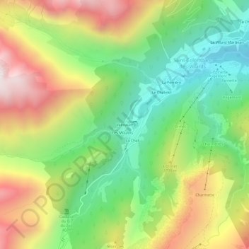
Name: Valmaure topographic map, elevation, terrain.
Average elevation: 1,532 m
Minimum elevation: 1,028 m
Maximum elevation: 2,219 m
Thank you for supporting this site ❤️
Make a donation
Make a donation
Other topographic maps
Click on a map to view its topography, its elevation and its terrain.
Refuges de l'Oule ( Antoine Cros)
France > Auvergne-Rhône-Alpes > Savoie > Saint-Colomban-des-Villards
Average elevation: 2,068 m