
Thank you for supporting this site ❤️
Make a donation
Make a donation
Gorno topographic map
Click on the map to display elevation.
Thank you for supporting this site ❤️
Make a donation
Make a donation
About this map
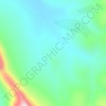
Name: Gorno topographic map, elevation, terrain.
Location: Gorno, Huambo Province, Angola (-12.58868 15.50752 -12.56868 15.52752)
Average elevation: 1,756 m
Minimum elevation: 1,668 m
Maximum elevation: 2,010 m
Thank you for supporting this site ❤️
Make a donation
Make a donation