
Mesa Verde topographic map
Interactive map
Click on the map to display elevation.
About this map
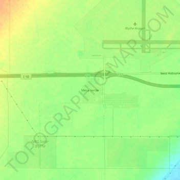
Name: Mesa Verde topographic map, elevation, terrain.
Average elevation: 120 m
Minimum elevation: 101 m
Maximum elevation: 136 m
Other topographic maps
Click on a map to view its topography, its elevation and its terrain.
Palm Springs
États-Unis d'Amérique > Californie > Riverside County
Palm Springs, Riverside County, Californie, États-Unis d'Amérique
Average elevation: 698 m