
Thank you for supporting this site ❤️
Make a donation
Make a donation
Owl Mobile Manor topographic map
Click on the map to display elevation.
Thank you for supporting this site ❤️
Make a donation
Make a donation
About this map
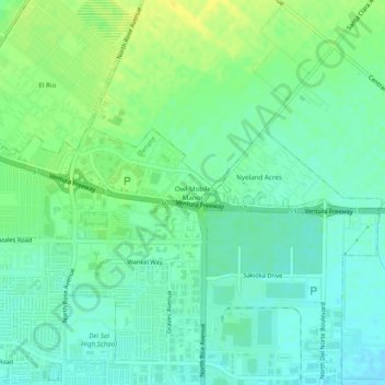
Name: Owl Mobile Manor topographic map, elevation, terrain.
Average elevation: 25 m
Minimum elevation: 16 m
Maximum elevation: 38 m
Thank you for supporting this site ❤️
Make a donation
Make a donation
Other topographic maps
Click on a map to view its topography, its elevation and its terrain.
Johnson Creek Park
United States > California > Ventura County > Oxnard > Pleasant Valley Mobile Home Park
Average elevation: 10 m