
Birchanger topographic map
Click on the map to display elevation.
About this map
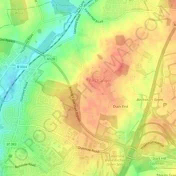
Name: Birchanger topographic map, elevation, terrain.
Location: Birchanger, Uttlesford, Essex, England, United Kingdom (51.86808 0.17495 51.89558 0.21064)
Average elevation: 85 m
Minimum elevation: 56 m
Maximum elevation: 104 m
Other topographic maps
Click on a map to view its topography, its elevation and its terrain.