
Thank you for supporting this site ❤️
Make a donation
Make a donation
Cetina topographic map
Click on the map to display elevation.
Thank you for supporting this site ❤️
Make a donation
Make a donation
Cetina
Cetina is a municipality in the province of Zaragoza, Aragon. It is situated at an altitude of 666 metres (2,185 ft) in the south east of the province, in the Comunidad de Calatayud, some 176 kilometres (109 mi) north east of Madrid and 98 kilometres (61 mi) south west of Zaragoza. The population in 2011 was 687.
Thank you for supporting this site ❤️
Make a donation
Make a donation
About this map
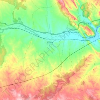
Name: Cetina topographic map, elevation, terrain.
Location: Cetina, Comunidad de Calatayud, Zaragoza, Aragon, 50292, Spain (41.21193 -2.01731 41.34991 -1.92128)
Average elevation: 786 m
Minimum elevation: 649 m
Maximum elevation: 991 m
Thank you for supporting this site ❤️
Make a donation
Make a donation