
Thank you for supporting this site ❤️
Make a donation
Make a donation
South Normanton topographic map
Click on the map to display elevation.
Thank you for supporting this site ❤️
Make a donation
Make a donation
About this map
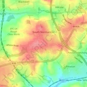
Name: South Normanton topographic map, elevation, terrain.
Location: South Normanton, Bolsover, Derbyshire, England, United Kingdom (53.08655 -1.37365 53.11612 -1.30961)
Average elevation: 123 m
Minimum elevation: 84 m
Maximum elevation: 160 m
Thank you for supporting this site ❤️
Make a donation
Make a donation