
Thank you for supporting this site ❤️
Make a donation
Make a donation
Dahme-Spreewald topographic map
Click on the map to display elevation.
Thank you for supporting this site ❤️
Make a donation
Make a donation
About this map
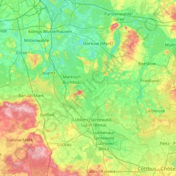
Name: Dahme-Spreewald topographic map, elevation, terrain.
Location: Dahme-Spreewald, Brandenburg, Germany (51.72678 13.41094 52.42108 14.45345)
Average elevation: 62 m
Minimum elevation: 30 m
Maximum elevation: 164 m
Thank you for supporting this site ❤️
Make a donation
Make a donation
Other topographic maps
Click on a map to view its topography, its elevation and its terrain.
Battle of the Seelow Heights
Germany > Brandenburg > Märkisch-Oderland > Seelow
Average elevation: 22 m
Thank you for supporting this site ❤️
Make a donation
Make a donation
Thank you for supporting this site ❤️
Make a donation
Make a donation