
Thank you for supporting this site ❤️
Make a donation
Make a donation
Yountville topographic map
Click on the map to display elevation.
Thank you for supporting this site ❤️
Make a donation
Make a donation
About this map
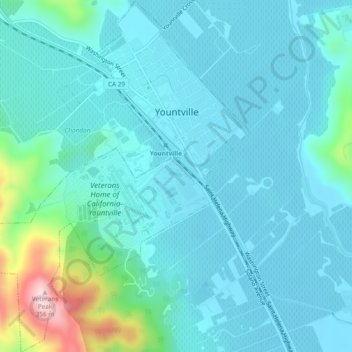
Name: Yountville topographic map, elevation, terrain.
Location: Yountville, Napa County, California, United States (38.37689 -122.38560 38.41394 -122.34966)
Average elevation: 68 m
Minimum elevation: 18 m
Maximum elevation: 349 m
Thank you for supporting this site ❤️
Make a donation
Make a donation