
Thank you for supporting this site ❤️
Make a donation
Make a donation
Breil/Brigels topographic map
Click on the map to display elevation.
Thank you for supporting this site ❤️
Make a donation
Make a donation
About this map
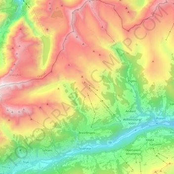
Name: Breil/Brigels topographic map, elevation, terrain.
Location: Breil/Brigels, Surselva, Grisons, Switzerland (46.73396 8.95708 46.87521 9.14025)
Average elevation: 1,885 m
Minimum elevation: 716 m
Maximum elevation: 3,366 m
Thank you for supporting this site ❤️
Make a donation
Make a donation
Other topographic maps
Click on a map to view its topography, its elevation and its terrain.