
Thank you for supporting this site ❤️
Make a donation
Make a donation
Belkıs topographic map
Click on the map to display elevation.
Thank you for supporting this site ❤️
Make a donation
Make a donation
About this map
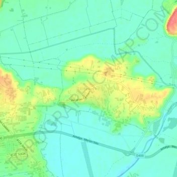
Name: Belkıs topographic map, elevation, terrain.
Location: Belkıs, Serik, Antalya, Mediterranean Region, Turkey (36.90518 31.12410 36.94518 31.16410)
Average elevation: 21 m
Minimum elevation: 2 m
Maximum elevation: 64 m
Thank you for supporting this site ❤️
Make a donation
Make a donation