
Springport topographic map
Click on the map to display elevation.
About this map
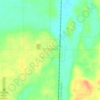
Name: Springport topographic map, elevation, terrain.
Location: Springport, Henry County, Indiana, United States (40.04428 -85.39724 40.05015 -85.38803)
Average elevation: 319 m
Minimum elevation: 301 m
Maximum elevation: 341 m
Other topographic maps
Click on a map to view its topography, its elevation and its terrain.