
Santa Clara topographic map
Click on the map to display elevation.
About this map
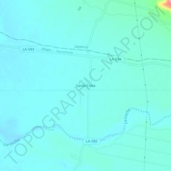
Name: Santa Clara topographic map, elevation, terrain.
Location: Santa Clara, Pítipo, Ferreñafe, Lambayeque, Perú (-6.47714 -79.73043 -6.43714 -79.69043)
Average elevation: 91 m
Minimum elevation: 77 m
Maximum elevation: 202 m
Other topographic maps
Click on a map to view its topography, its elevation and its terrain.