
Thank you for supporting this site ❤️
Make a donation
Make a donation
Bancalan Island topographic map
Click on the map to display elevation.
Thank you for supporting this site ❤️
Make a donation
Make a donation
About this map
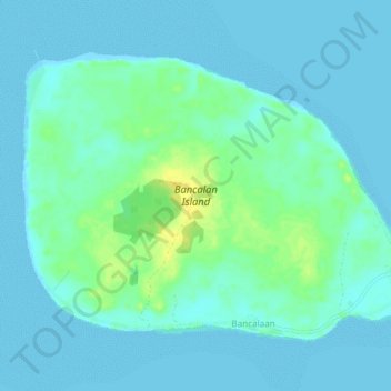
Name: Bancalan Island topographic map, elevation, terrain.
Location: Bancalan Island, Balabac, Palawan, Mimaropa, Philippines (8.21262 117.07950 8.24804 117.12803)
Average elevation: 6 m
Minimum elevation: 0 m
Maximum elevation: 24 m
Thank you for supporting this site ❤️
Make a donation
Make a donation
Other topographic maps
Click on a map to view its topography, its elevation and its terrain.