
Bangad topographic map
Click on the map to display elevation.
About this map
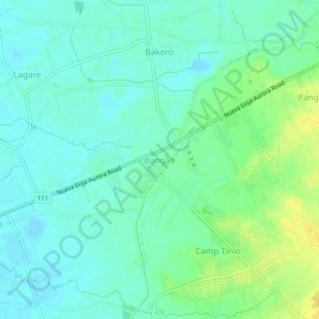
Name: Bangad topographic map, elevation, terrain.
Location: Bangad, Nueva Ecija, Central Luzon, 3100, Philippines (15.48069 121.00548 15.52069 121.04548)
Average elevation: 44 m
Minimum elevation: 36 m
Maximum elevation: 59 m