
Tontonan topographic map
Interactive map
Click on the map to display elevation.
About this map
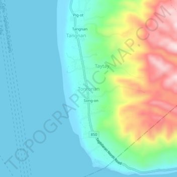
Name: Tontonan topographic map, elevation, terrain.
Location: Tontonan, Bohol, Central Visayas, 6327, Philippines (9.73260 123.76923 9.77260 123.80923)
Average elevation: 99 m
Minimum elevation: 0 m
Maximum elevation: 388 m