
Yana topographic map
Interactive map
Click on the map to display elevation.
About this map
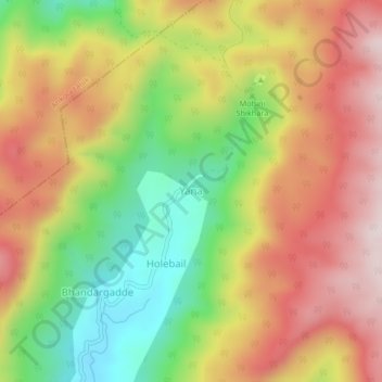
Name: Yana topographic map, elevation, terrain.
Location: Yana, Kumata taluk, Uttara Kannada, Karnataka, India (14.55861 74.53982 14.59861 74.57982)
Average elevation: 371 m
Minimum elevation: 92 m
Maximum elevation: 630 m