
Thank you for supporting this site ❤️
Make a donation
Make a donation
النامسي topographic map
Click on the map to display elevation.
Thank you for supporting this site ❤️
Make a donation
Make a donation
About this map
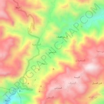
Name: النامسي topographic map, elevation, terrain.
Location: النامسي, سلفة, Yafa'a District, Lahij Governorate, Yemen (13.80380 45.24046 13.84380 45.28046)
Average elevation: 2,130 m
Minimum elevation: 1,693 m
Maximum elevation: 2,453 m
Thank you for supporting this site ❤️
Make a donation
Make a donation