
Stalden topographic map
Interactive map
Click on the map to display elevation.
About this map
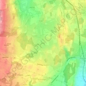
Name: Stalden topographic map, elevation, terrain.
Location: Stalden, Lucerne, 6274, Suisse (47.11873 8.27497 47.15873 8.31497)
Average elevation: 513 m
Minimum elevation: 425 m
Maximum elevation: 595 m