
Thank you for supporting this site ❤️
Make a donation
Make a donation
Sindìa/Sindia topographic map
Click on the map to display elevation.
Thank you for supporting this site ❤️
Make a donation
Make a donation
About this map
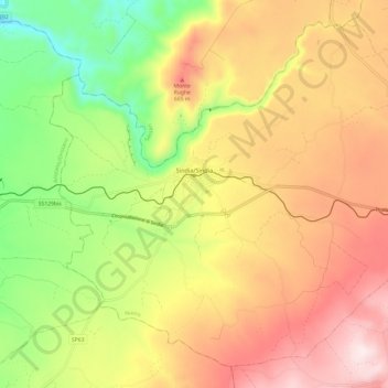
Name: Sindìa/Sindia topographic map, elevation, terrain.
Location: Sindìa/Sindia, Nuoro, Sardinia, 08018, Italy (40.24959 8.61116 40.33145 8.73194)
Average elevation: 511 m
Minimum elevation: 233 m
Maximum elevation: 779 m
Thank you for supporting this site ❤️
Make a donation
Make a donation